RESOURCE
What is an Inertial Navigation System?
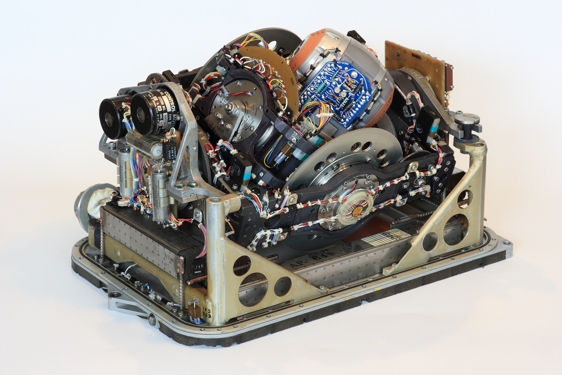
An inertial navigation system (INS) is a self-contained device consisting of an inertial measurement unit (IMU) and computational unit. The IMU is typically made up of a 3-axis accelerometer, a 3-axis gyroscope and sometimes a 3-axis magnetometer and measures the system's angular rate and acceleration. The computational unit used to determine the attitude, position, and velocity of the system based on the raw measurements from the IMU given an initial starting position and attitude.
How does an Inertial Navigation System (INS) work?
As we mentioned above an inertial navigation system (INS) uses an inertial measurement unit (IMU) consisting of accelerometers, gyroscopes, and sometimes magnetometers. The gyroscope and magnetometer provide an INS system with the same contributions that they provide to an AHRS. The gyroscope angular rate measurements are integrated for a high-update rate attitude solution, while the magnetometer (if used) provides a heading reference similar to a magnetic compass. More information regarding the contribution of these sensors can be found in Section 1.6 of the Inertial Navigation Primer.

The computational unit is responsible for recording all inertial measurements and performing the necessary calculations, typically through the used of advanced Kalman filtering to determine attitude, velocity and finally position. The following sections will dive into the calculations necessary to determine attitude, velocity and position based on measurements from the IMU and also discuss the various specifications for the sensors and how they impact the overall accuracy of the INS. If you want to learn more about Kalman filtering please refer to Section 2.8 in our Inertial Navigation Primer.
ATTITUDE
The attitude of a system is calculated by integrating angular rate (angular velocity) as measured by the gyros over a defined time period. For the purposes of this analysis, we consider single-axis motion, as the non-linear coupling of attitude makes multi-axis analysis impossible in the general case. The equation for a measured angular rate for a single axis can be represented with error sources as follows:
\begin{equation} \tilde{w} = (1+k)w_t + b_g +\eta_g \end{equation}
where $\tilde{w}$ is the measured angular rate, $w_t$ is the true angular rate, $k$ is the scale factor error, $b_g$ is the time-varying bias, and $\eta_g$ is the random Gaussian noise
(defined by the angle random walk (ARW) specification).
VELOCITY AND POSITION
Unaided inertial navigation, also known as dead-reckoning, requires extremely accurate inertial sensors to provide suitably accurate position and velocity estimation for navigation purposes. A variety of error sources within the inertial sensors measurements themselves lead to unbounded error growth in the INS navigation solution, such as bias, noise, scale factor errors, misalignments, temperature dependencies, and gyro g-sensitivity. The performance of the gyro typically dominates the position errors when performing a pure integration of inertial sensors.
The accelerometers in an INS system measures both the system's linear acceleration due to motion and the pseudo-acceleration caused by gravity. To obtain the system's linear acceleration due to motion, the pseudo-acceleration caused by gravity must be subtracted from the accelerometer measurement using estimates of the system's attitude. The resulting linear acceleration measurement can then be integrated once to obtain the system's velocity and twice to obtain the system's position. However, these calculations are heavily dependent on the INS maintaining an accurate attitude estimate, as any error in the attitude causes an error in the calculated acceleration, consequently causing errors in the integrated position and velocity.
The velocity error is found by integrating the acceleration and adding that to an initial velocity error at the start of the integration:
\begin{equation} V_{err}=V_{err_0}+\int_0^t(\tilde{a}-a_t)dt \end{equation}
\begin{equation} V_{err}=V_{err_0}+k\Delta V+b_at+(\mbox{VRW})\sqrt{t}+g\left[\frac{1}{2}b_gt+\frac{2}{3}(\mbox{ARW})t^{\frac{3}{2}}\right] \end{equation}
Where:
- VRW: Velocity Random Walk
- ARW: Angular Random Walk
- $b_a$: Accel Bias
- $b_g$ : Gyro Bias
Finally, a solution for position error has been found that factors all significant sources of error found in inertial navigation. As a reminder, this solution takes into account a linear acceleration in the purely horizontal axis. Removing the last component in the equation would result in a solution based on vertical linear acceleration. This position integration result shows why most INS systems are assessed initially on their gyro performance, particularly the in-run bias stability: the positioning errors proportional to the gyro bias grow as a function of time cubed!
See more in Section 3.3, INS Error Budget, to learn about how the performance specifications of accelerometers and gyroscopes relate to the positioning and velocity estimate accuracies.
WRAPPING UP
We have highlighted the contributions of the various significant error sources to estimating the position error growth for an unaided inertial navigation solution. The table below presents the typical parameters for the various grades of inertial sensors available.
| GRADE | ACCELEROMETER BIAS (mg) | VELOCITY RANDOM WALK (m/s/$\sqrt{\mbox{hr}}$) | GYRO BIAS (deg/hr) | ANGLE RANDOM WALK (deg/$\sqrt{\mbox{hr}}$) |
|---|---|---|---|---|
| Consumer | 10 | 1 | 100 | 2 |
| Industrial | 1 | 0.1 | 10 | 0.2 |
| Tactical | 0.1 | 0.03 | 1 | 0.05 |
| Navigation | 0.01 | 0.01 | 0.01 | 0.01 |
Using the data from the table above we can then estimate the position error grow, or drift, over time for the various grades of inertial sensors. As can be seen below a consumer grade device’s, something like that found in your smart phone, position error will have grown to 400m within 1 minute while a tactical grade device will have only accumulated 5m of position error.
| GRADE/TIME | 1 s | 10 s | 60 s | 10 min | 1 hr |
|---|---|---|---|---|---|
| Consumer | 6 cm | 6.5 m | 400 m | 200 km | 39,000 km |
| Industrial | 6 mm | 0.7 m | 40 m | 20 km | 3,900 km |
| Tactical | 1 mm | 8 cm | 5 m | 2 km | 400 km |
| Navigation | <1 mm | 1 mm | 50 cm | 100 m | 10 km |