APPLICATIONS
Bathymetric Survey
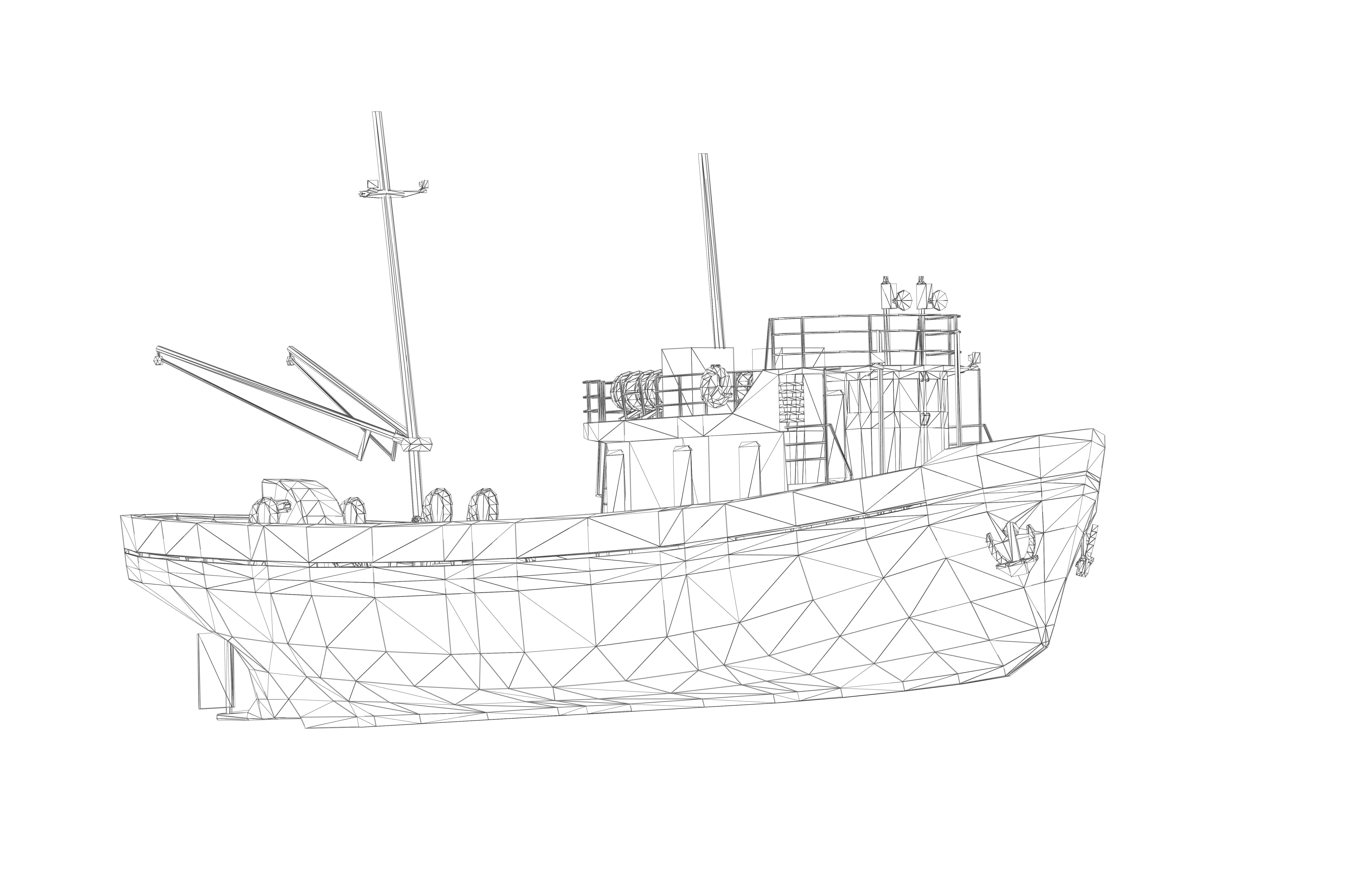
Bathymetry is the science of measuring the topographical characteristics of the seafloor this effort yields georeferenced maps of the seafloor with dense and accurate point clouds. Data from marine surveys can be used to generate topographical maps for ship traffic in and out of ports, to determine the best placement for subsea cables and pipelines, to study marine habitats, and much more.
At a high-level, the process for bathymetric surveying is similar: a transducer acquires point cloud data, which is subsequently aligned with a common reference frame. This is accomplished using various methods such as lead line surveying, a singlebeam echosounder (SBES) solution, or a multibeam echosounder (MBES) solution. Subsequently, the referenced point cloud data can be processed and combined to create a detailed map.
An SBES or MBES surveying solution uses the time-of-flight principle on sound waves to measure the distance to the seafloor, which greatly increases the survey accuracy and resolution as compared to lead line surveying. The SBES uses a single sound pulse to provide a depth measurement and is often ideal for small areas or shallow waters. An MBES solution uses a similar approach, but sends multiple sound pulses at once, allowing it to cover much larger swaths of the seabed.
DATA REQUIREMENTS
IMU
Angular Rate
ATTITUDE
Yaw, Pitch, Roll
NAVIGATION
Position, Velocity
DOWNLOAD OUR FREE BATHYMETRIC SURVEY APPLICATION NOTE
RECOMMENDED PRODUCTS

VN-300
GNSS / INS

VN-310
Dual GNSS / INS
