APPLICATION OVERVIEW
VectorNav sensors have been integrated into systems operating from the deep sea to the stratosphere. They have circumnavigated the globe, broken world records and have been integrated into mission-critical systems. We have developed a wealth of experience working with customers spanning a myriad of applications. Browse through our application deep dives below to leverage VectorNav's experience and lessons learned to bring your next product to market. And if you don’t find the information you are looking for, don’t forget that VectorNav’s dedicated engineering support team is there to help you overcome every challenge you know of and every challenge you don’t.
Below you will find deep dive on:
EO/IR SURVEILLANCE
SATCOM ON THE MOVE
PHOTOGRAMMETRY
LIDAR MAPPING
GIMBAL POINTING
EO/IR SURVEILLANCE
Gimballed systems are one of the most common payloads on everything from UAVs to marine vessels, enabling pointing of that payload independent of the vehicle attitude. For most gimbal pointing applications, including geo-referencing, the gimbal control system requires position data, which precludes a pure IMU or AHRS solution and requires a GNSS-aided option. This application section details the requirements for a GNSS/INS solution to enable open-loop pointing. Taking a look at maximum pointing error, error sources and calculating the error budget for the gimbal pointing solution.
Learn More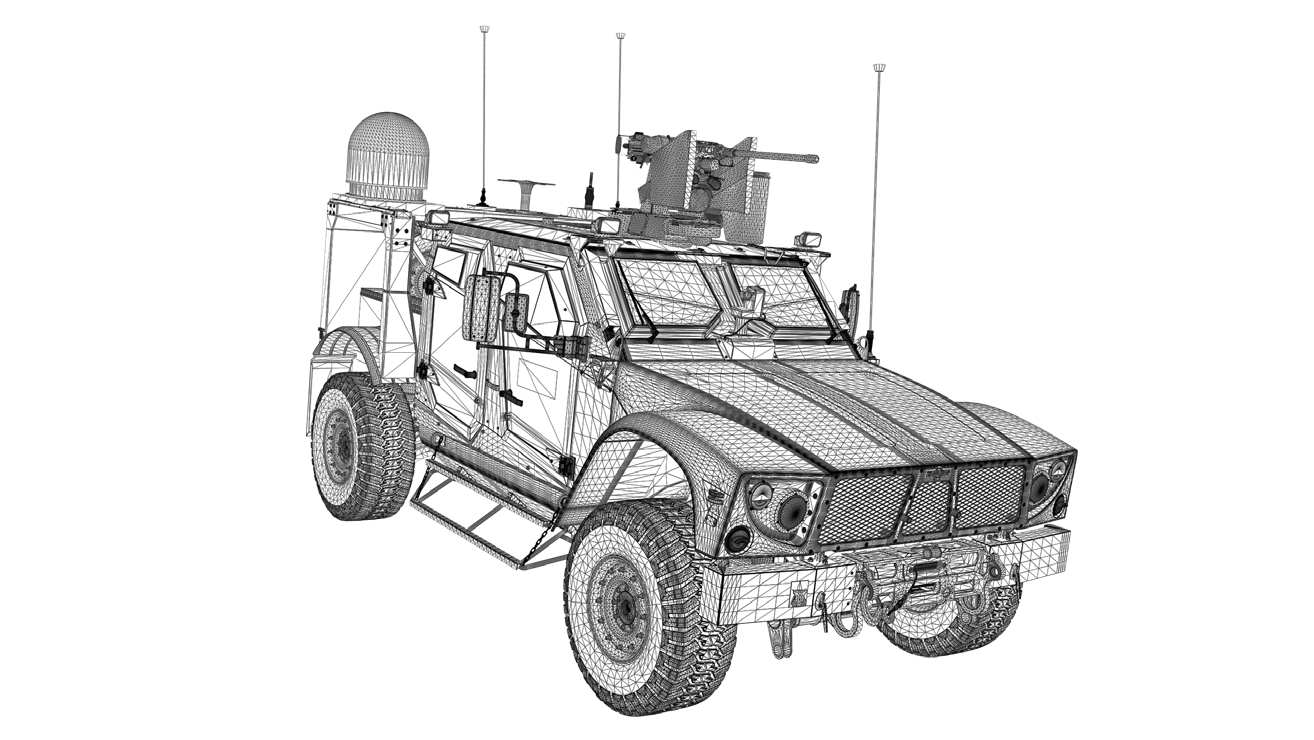
GIMBAL POINTING
SATCOM ON THE MOVE
The need to maintain persistent mobile communications regardless of location in the world has driven significant growth in Satellite Communications (SATCOM) and particularly for SATCOM on-the-move (SOTM) products and service offerings. The key challenge for any SATCOM system is maintaining the line-of-sight (LOS) connection with the target satellite.
This application section details the requirements for a GNSS/INS solution to enable open-loop pointing. Taking a look at maximum pointing error, error sources and calculating the error budget for the gimbal pointing solution.
Learn MoreDIRECT GEOREFERENCING
LIDAR MAPPING
For LiDAR mapping to produce accurate georeferenced point cloud data it is vitally important that the GNSS/INS solution not only have suitably accurate position and attitude data, but that the sensor be aligned and bore-sited correctly. A suitably configured Mobile Mapping System is able to produce data that rivals traditional techniques with additional advantages of speed and safety.
This application section details the performance requirements for a GNSS/INS sensor and system integration.
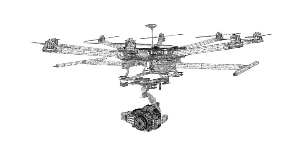
DIRECT GEOREFERENCING
AERIAL PHOTOGRAMMETRY
Precise photogrammetry relies on cameras integrated with high precision GNSS/INS in combination with post-processing software to create an optimized SWaP solution that can digitize vast areas when used on aerial vehicles. Careful consideration of component selection, mounting, time synchronization and lense calibration can produce survey grade mapping results that rival traditional techniques.
This application section details the performance requirements for a GNSS/INS sensor and system integration.
Learn More