Product Information
Product Briefs, Purchasing Guides, Case Studies
ICDs are now independant documents from user manuals and can be found in Technical Documentation
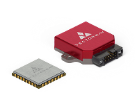
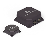
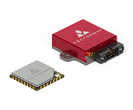
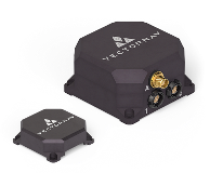
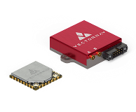
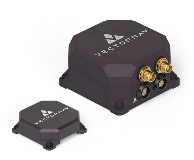
Explore VectorNav's complete product line-up of high-performance IMU and GNSS-aided INS solutions.
View BrochureWe're explorers at heart, continually pushing the limits of possible to support out-of-this-world applications and customers. Do you share the desire to discover and define new limits? Learn more about working at VectorNav.